
 (UPDATE 4) The National Disaster Risk Reduction and Management Council said a high-magnitude quake has left at least one dead and several structures partially damaged, as Phivolcs lifts its local tsunami alert.
 In its update 3, NDRRMC reports that a landslide that ensued after the quake in Cagayan de Oro left at least one dead and one injured. It identified the fatality as Emilita Ubalde, 50 years old. Five-year-old Adrian Ubalde was meanwhile injured.
At least five houses were partially damaged due to a flashflood in Barangay Tablon, Cagayan de Oro city, NDRRMC added.
The Philippine Institute of Volcanology and Seismology (Phivolcs) has also lifted as of 12:10 am, Saturday, an earlier announced Tsunami Warning 3 over some provinces after a 7.7 magnitude earthquake was detected off Eastern Samar 8:47 pm Friday.
The government however advises the public to stay on alert for aftershocks.
Earlier, the tsunami warning ordered families along the coasts of Northern Samar, Eastern Samar, Leyte, Southern Leyte, Surigao del Norte, and Surigao del Sur to leave their homes and seek higher ground. NDRRMC executive director Benito Ramos said on radio DZMM that residents on Siargao and the Dinagat Islands have also been earlier told to leave their homes.
As of 11:15 pm, all tsunami warnings from U.S.-based Pacific Tsunami Warning Center had also been lifted.
Local data from the NDRMMC show the earthquake was measured at Intensity 7 in Giuan, Oras, and Borongan City in Eastern Samar. Intensity 6 was reported in Siargao, Surigao del Norte, Tacloban City, Palo town in Leyte, and St. Bernard in Southern Leyte. Intensity 5 was reported in Mati City, Compostela, Legaspi City, Iloilo City, Bislig City, and Iligan City.
Intensity 4 was reported in Butuan City, Catbalogan City, and Cagayan de Oro City. The quake had an intensity of III in Cotabato, Mambajao, Camiguin, and General Santo City. The cities of Marawi and Sipalay, meanwhile, reported the earthquake at Intensity 2.
According to USGS, "Magnitude measures the energy released at the source of the earthquake. Magnitude is determined from measurements on seismographs. Intensity measures the strength of shaking produced by the earthquake at a certain location. Intensity is determined from effects on people, human structures, and the natural environment."
Meanwhile, Deputy presidential spokesperson Abigail Valte said the Department of Social Welfare and Development is already coordinating with areas affected by the earthquake. She said food packs and other supplies are ready for those who may be affected by the earthquake.
Earlier, the United States Geological Survey detected the magnitude 7.9 earthquake 139 kilometers east of Sulangan, Eastern Samar. The Philippine Institute of Volcanology and Seismology measured a magnitude of 7.7.
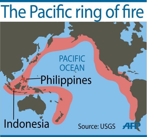
This prompted the Pacific Tsunami Warning Center in Hawaii to issue Tsunami Bulletin Number 001 raising a tsunami warning. At 9 pm, tsunami warning was issued for the Philippines, Indonesia, Belau, Yap island, Taiwan, Japan, Guam, Northern Marianas, and Papua New Guinea.
PTWC made clear, however, "it is not known that a tsunami was generated." It issued the warning because "an earthquake of this size has the potential to generate a destructive tsunami that can strike coastlines near the epicenter within minutes."


0 Comments